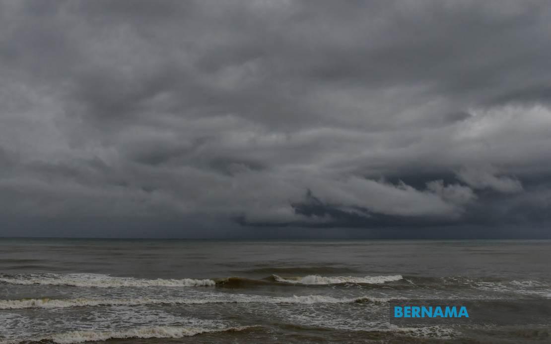
The Malaysian Meteorological Department (MetMalaysia) has alerted the public to expect thunderstorms, heavy rain and gusty winds across a broad swathe of the country on July 16, with adverse weather conditions expected to persist through the evening until 9pm. The warning encompasses numerous districts spread across both Peninsular Malaysia and East Malaysia, highlighting the widespread nature of the weather system moving through the region.
In Peninsular Malaysia, residents in Perlis face the prospect of severe weather, while Kedah will experience the greatest impact across a relatively expansive area. The northern state's affected districts include Langkawi—the popular tourist destination—alongside the mainland districts of Kubang Pasu, Padang Terap, Sik, Baling, Kulim and Bandar Baharu. This geographic spread suggests the low-pressure system is affecting both the state's island communities and its central lowland regions, where weather patterns can intensify due to orographic effects from surrounding highlands.
Perak's situation similarly demonstrates the system's expansive reach across the region's interior and peripheral zones. Residents in Kerian, Larut, Matang and Selama, Hilir Perak, Batang Padang and Muallim should prepare for deteriorating conditions. These districts encompass the state's western coastal plains, central highlands and southern lowlands, indicating the weather front is not confined to any single geographic orientation but rather covers the full spectrum of terrain types.
The Klang Valley metropolitan region has also been placed under alert, with MetMalaysia warning Kuala Lumpur residents alongside those in key Selangor districts. Sabak Bernam in the state's north, the intermediate areas of Kuala Selangor and Hulu Selangor, the central urban zones of Klang and Gombak, and the southern suburb of Petaling are all expected to experience thunderstorms and downpours. This metropolitan warning carries particular significance given the region's dense population concentration and the challenges heavy rainfall poses for traffic flow and public services in the greater Kuala Lumpur area.
Johor's southern region faces similar weather disruptions, with the warning specifically covering Kulai and Johor Bahru—the state's major urban and industrial centres. Heavy rainfall in these densely developed areas can rapidly overwhelm drainage systems and cause flooding in low-lying neighbourhoods and commercial districts, while thunderstorms present hazards to transportation networks and public utilities.
East Malaysia's Sabah has been divided into three vulnerability zones by MetMalaysia. The Interior region, which encompasses mountainous terrain and small communities, faces the general warning alongside the West Coast districts of Papar, Putatan, Penampang, Kota Kinabalu, Tuaran and Ranau. Separately, the Sandakan division's interior districts of Tongod, Telupid and Beluran have also been flagged. This tiered geographic breakdown in Sabah suggests meteorologists have identified particular zones where weather intensification is most probable.
In Sarawak, the warning extends across the state's interior and northern zones. The Kapit division—encompassing Kapit town, Bukit Mabong and Belaga—sits in the state's central river basin region where rainfall can accumulate rapidly. The northern coastal divisions of Miri and Limbang also feature in the alert, suggesting the weather system will affect virtually all of Sarawak's administrative regions before dissipating later in the day.
For Malaysian residents and workers, the practical implications of this widespread warning are significant. Commuters across the region should anticipate delays and exercise additional caution while driving, particularly on elevated highways where strong winds pose hazards to high-sided vehicles. Public transport operators may face service disruptions, especially in urban areas where surface flooding can affect bus and taxi operations. Those working outdoors or in weather-exposed sectors should assess whether activities can be safely postponed or relocated indoors.
The evening timeline—with warnings expiring at 9pm—suggests this is a relatively short-lived weather system, likely associated with afternoon heating activating a localized low-pressure zone that will dissipate as evening temperatures cool. However, the sheer geographic extent of affected areas indicates a substantial weather front rather than isolated thunderstorm cells. Residents should monitor MetMalaysia's updates throughout the day, as weather systems can sometimes intensify beyond initial projections or persist longer than anticipated.
For regional context, July marks the onset of the southwest monsoon season in Malaysia, which typically brings more frequent afternoon thunderstorms to western-facing coastal areas and inland regions. Today's widespread warning represents typical monsoon season weather patterns, though the breadth of the affected area warrants heightened public awareness. Those planning evening activities or commuting during the warning period should allow extra time for journeys and remain alert to sudden weather deterioration.
The coordination of this warning across MetMalaysia's various regional monitoring stations demonstrates the department's capacity to track weather systems affecting disparate regions simultaneously. Residents who receive such alerts are advised to treat them seriously, particularly regarding the strong wind component, which can affect structural stability of temporary structures and create hazards from windblown debris in urban areas.