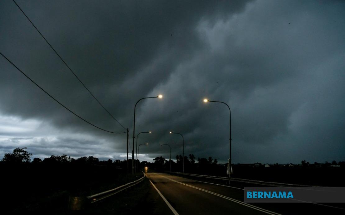
The Malaysian Meteorological Department has activated a nationwide weather alert covering 10 states, cautioning residents and businesses to prepare for thunderstorms, intense rainfall, and powerful wind gusts expected to persist until 6 pm today. The advisory spans a significant portion of the country, from the northern Peninsula to East Malaysia, underscoring the scale and intensity of the atmospheric disturbance moving across the region.
Northern Peninsular Malaysia faces particular risk, with the alert encompassing the entirety of Perlis and targeting specific districts across Kedah and Perak. In Kedah, the warning applies to Padang Terap, Kuala Muda, Sik, Baling, Kulim and Bandar Baharu, representing a substantial swathe of the state's agricultural and residential zones. The Perak coverage extends across Kerian, Larut, Matang and Selama, Hulu Perak, Kuala Kangsar, Kinta, Kampar, Batang Padang and Muallim, capturing both the state's industrial heartland and rural interior.
Moving eastward along the Peninsula, the East Coast states face heightened weather risks during this period. Kelantan's vulnerability centres on Pasir Mas, Jeli, Tanah Merah, Machang, Pasir Puteh, Kuala Krai and Gua Musang, areas encompassing both coastal plains and inland territories. Terengganu experiences blanket coverage under the alert, with no district exempted from the warning. Meanwhile, Pahang's threat zones include the elevated Cameron Highlands—a tourism and agricultural hub—alongside Lipis, Raub, Jerantut, Bentong, Kuantan, Pekan and Rompin, demonstrating that both highland and lowland regions face potential disruption.
In Selangor, the metropolitan state's weather vulnerability is concentrated in Hulu Selangor, the inland district bordering Pahang. This targeted alert reflects the particular atmospheric conditions developing in that sector. Johor, Malaysia's southernmost state on the Peninsula, experiences warnings across Batu Pahat, Kluang, Mersing, Pontian, Kulai, Kota Tinggi and Johor Bahru—a mixture encompassing coastal municipalities, interior towns, and the state capital that serves as a major transport and commercial nexus.
In East Malaysia, Sarawak faces extensive coverage with multiple districts placed under alert status. The affected zones include Kuching's peripheral areas of Bau and central Kuching itself, alongside Betong (encompassing Saratok and Kabong), Sarikei, Sibu (including Sibu and Selangau), Mukah, Bintulu, Miri (covering Subis, Beluru, Miri and Marudi), and Limbang. This geographic spread indicates that the weather system is influencing conditions across Sarawak's entire expanse, from coastal to interior zones.
Sabah similarly experiences weather disruptions across multiple geographic sectors, with alerts affecting the Interior (Sipitang, Tenom, Kuala Penyu, Beaufort and Tambunan), the West Coast region, Sandakan (specifically Beluran), and Kudat in the north. This distribution suggests the weather pattern is creating challenging conditions throughout the state's diverse topography.
Thunderstorms of this magnitude, coupled with heavy rain warnings, pose tangible risks to daily operations and public safety across affected regions. Residents in warning zones should exercise heightened caution regarding outdoor activities, transportation, and electrical safety during peak storm hours. Heavy rainfall in elevated terrain, particularly in Cameron Highlands and Sabah's interior, raises potential concerns regarding landslides and flooding in susceptible areas, necessitating vigilance from local authorities and communities.
Businesses and governmental agencies operating across the affected districts should consider contingency arrangements, particularly those dependent on reliable transportation networks or electrical infrastructure. The timing until 6 pm suggests the most volatile atmospheric conditions should conclude by evening, though localized impacts may persist beyond the official alert window depending on the storm's trajectory and intensity evolution.
For Malaysian travellers and the transportation sector, this advisory warrants particular attention given the extensive geographic coverage and the inclusion of major commercial hubs and transport corridors. Airlines and port authorities may experience disruptions, whilst road networks across the Peninsula and Borneo could face temporary impediments during peak storm activity. The Malaysian public should remain alert to updates from MetMalaysia, which may extend or adjust the warning depending on how the weather system evolves throughout the afternoon.