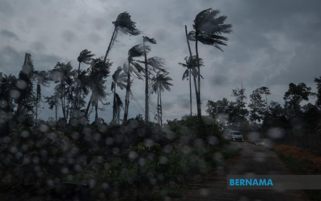
Residents across multiple Malaysian states face unsettled weather conditions throughout the morning, with the Malaysian Meteorological Department issuing an alert early today warning of thunderstorms, heavy rain and strong winds expected to persist until 1pm. The alert, issued at 8:35am, provides short-term guidance for affected communities to prepare for potentially hazardous conditions during the next few hours.
The meteorological warning encompasses the entire states of Perlis and Melaka on the Peninsula, alongside several districts in other major regions. In Kedah, the alert covers Langkawi, Kubang Pasu and Kota Setar, areas that serve as important tourism and commercial hubs for the northern region. These locations have experienced heightened weather activity in recent weeks as the southwest monsoon season continues to influence atmospheric patterns across the country.
Central Peninsular Malaysia faces comparable threats, with Pahang bearing the brunt of the forecasted weather system. The alerts specifically name Kuantan, the state capital and a major commercial centre, alongside Pekan and Jerantut. In Selangor, which surrounds the capital region, MetMalaysia identified Sepang and Kuala Langat as requiring immediate weather precautions. These areas, critical to the nation's economic activity and transportation networks, warrant heightened preparedness given the potential for disruptions.
Negeri Sembilan residents in Port Dickson, Seremban, Rembau, Kuala Pilah and Tampin must brace for the incoming system, with particular concern for lower-lying and flood-prone communities. Similarly, in Johor, the southern districts of Tangkak and Muar are included in the alert zone. These regions, especially those near river valleys and coastal areas, face increased risk of localised flooding should rainfall intensify during the warning period.
Across the South China Sea, Sarawak also faces similar atmospheric threats, with nine districts identified as vulnerable to the developing weather pattern. Mukah, Selangau and Sibu represent significant population centres in central Sarawak, while Sarikei, Maradong and Bintulu serve as important commercial and industrial areas for the state. The interior divisions of Kapit, Bukit Mabong and Subis in Miri have also been flagged, suggesting the system's widespread geographical reach across the Malaysian portion of Borneo.
MetMalaysia's decision to issue a short-term alert rather than a longer-duration warning reflects the temporary nature of this particular weather system. The classification as a short-term advisory, valid for no more than six hours per issuance, indicates that conditions are expected to improve relatively swiftly once the frontal system passes through the affected regions. Residents in warned areas should monitor subsequent updates, as MetMalaysia may extend or modify the alert depending on system development and atmospheric observations.
The combination of thunderstorms, heavy rain and strong winds presents multiple hazards for communities and infrastructure. Heavy rainfall in the warned districts could overwhelm drainage systems, particularly in urban areas with inadequate stormwater management. Strong winds accompanying the convective activity may damage structures, fell trees and disrupt power supply lines. Thunderstorms themselves pose immediate dangers to those engaged in outdoor activities, open water operations and exposed occupations, making the early morning alert valuable for emergency preparedness and public safety planning.
For commuters and travellers within the affected regions, the weather warning carries practical implications for transportation planning. Heavy rain typically reduces visibility on highways and may necessitate reduced vehicle speeds, while strong winds could prove particularly challenging for high-sided vehicles and motorcyclists. Port operations in coastal communities like Port Dickson and the Sarawak coastal districts may experience disruptions, and aviation operations at regional airports may see delays or cancellations depending on storm intensity and timing.
Local authorities in the warned districts have received sufficient advance notice to activate relevant contingency protocols. Emergency response teams in flood-prone areas should remain on standby, particularly in Pahang and Selangor where previous seasons have demonstrated vulnerability to rapid water accumulation. Agricultural operations, particularly in Johor and Sarawak where plantations dominate the landscape, may face crop exposure risks if winds exceed structural tolerance thresholds for protective infrastructure.
The current weather pattern reflects broader seasonal dynamics influencing Malaysian meteorology during this period of the year. The southwest monsoon season, which typically runs from May through September, brings increased moisture and atmospheric instability to western and central regions of the Peninsula and Sarawak. Residents and businesses operating across the alert zones should remain attuned to updated forecasts and official guidance from MetMalaysia as the morning progresses and the weather system moves through affected localities.